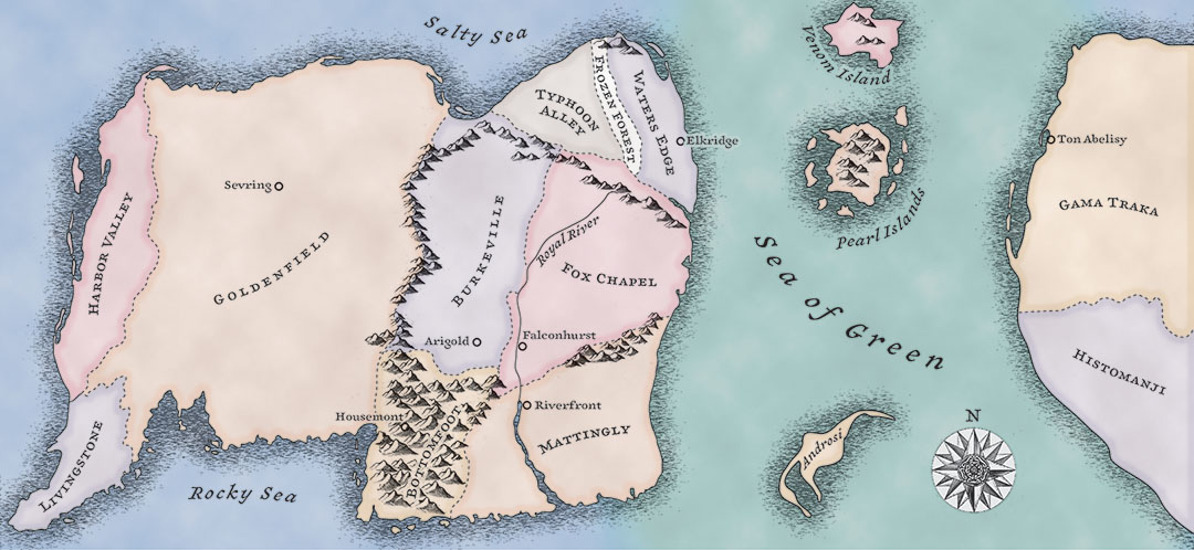
Two Heads, Two Spikes map illustration – Jason Paul Rice
I was given pencil sketches of the world of Jason Paul Rice’s fantasy novel, and asked to make a “medieval looking” map. Now, what people normally mean by that is actually more a concatenation of cartographic styles from the 16th through the 19th centuries. So, that’s what I used. I stole the mountains from a 17th-century map of southern France, and edited the coast and general geography so it would make more basic sense as a physical geography. The blank spaces are intentional: those lands in this first volume of Rice’s book are only sketchily understood by the characters… they may be filled in for future volumes.