Nice Ride Minnesota – Hedberg Maps, Inc.
Winner, best public service program, International Map Trade Association Americas
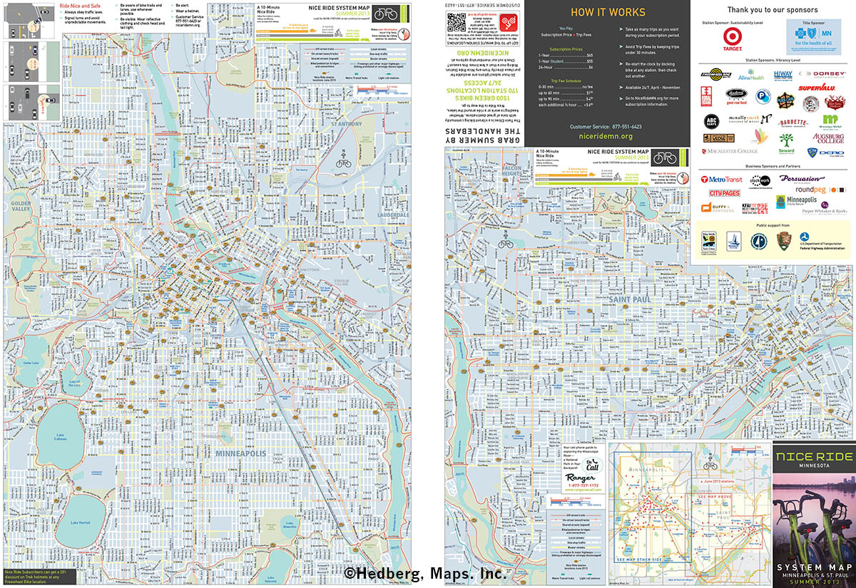
When Nice Ride Minnesota, the Twin Cities’ bike-share program, was announced in 2009, Hedberg Maps was asked to develop a mapping program that included a folded system map and maps for each station. We spent a fair amount of time looking at bicycle maps from across the country, and developed a basic design based on the idea of showing the general street network in white and light colors, and the trail, lane and other bike infrastructure network in red, with all other base artwork in between. The idea was to allow people to visualize these two related but different networks separately (I presented a paper on this at NACIS in 2010). My biggest visual source of design ideas were the bike maps of Steve Spindler and the late Dennis McClendon.
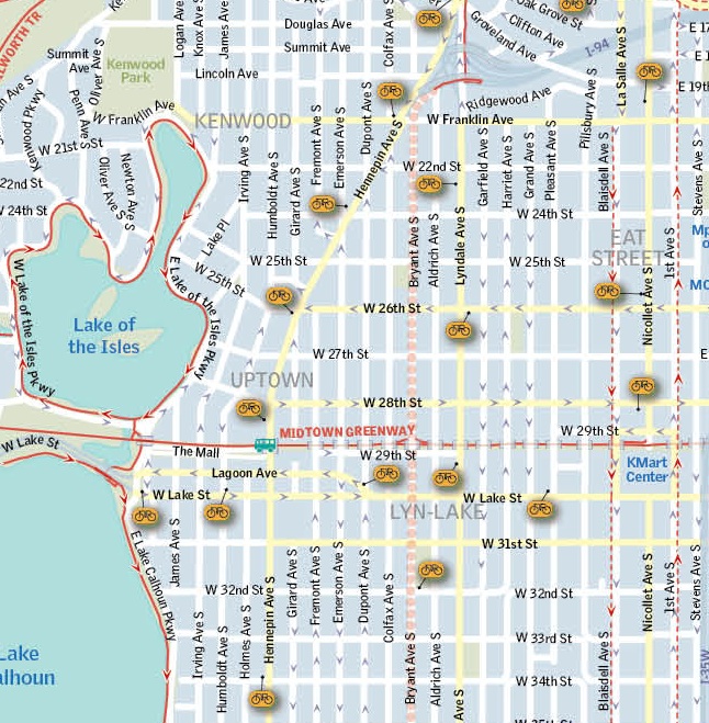
The system was very design-conscious, and we worked hard to integrate our designs with the color palette, font choices, and overall aesthetic developed by Duffy Partners. We generated a base map for the Twin Cities that was used for both the folded map and for the main station map. For the first release (June 2010), we used city building and curb data to create very local maps for each station, showing what businesses and facilities were nearby. We used InDesign to make a more efficient process of generating what are now 150 separate and distinct large station maps to be printed on vinyl for insertion into the stations each year. As the system expanded, we had to adapt. The maps at each station now show the entire system in less detail, and then shows a subsection of the main map nearby each station—we simply ran out of room for the super-detailed local maps. The paper map has had to evolve to a larger sheet as well. Hedberg Maps has created all static maps for Nice Ride from it initial 2010 season.