Pitchfork Ranch – Hedberg Maps, Inc.
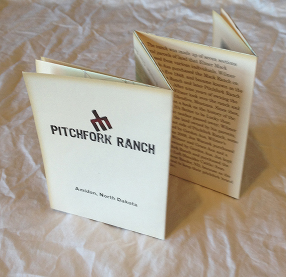
John Wanzek was the major sponsor of the mapping project Hedberg Maps did for Camp Wilderness in 2012. He also wanted a map and guide for visitors to his family ranch in southwestern North Dakota. It’s the part of the country where Teddy Roosevelt first discovered the West, dry and textured by gullies and washes. As with Camp Wilderness, we created both a poster (see pan and zoom below) and a folded piece (see above) with overlapping artwork.
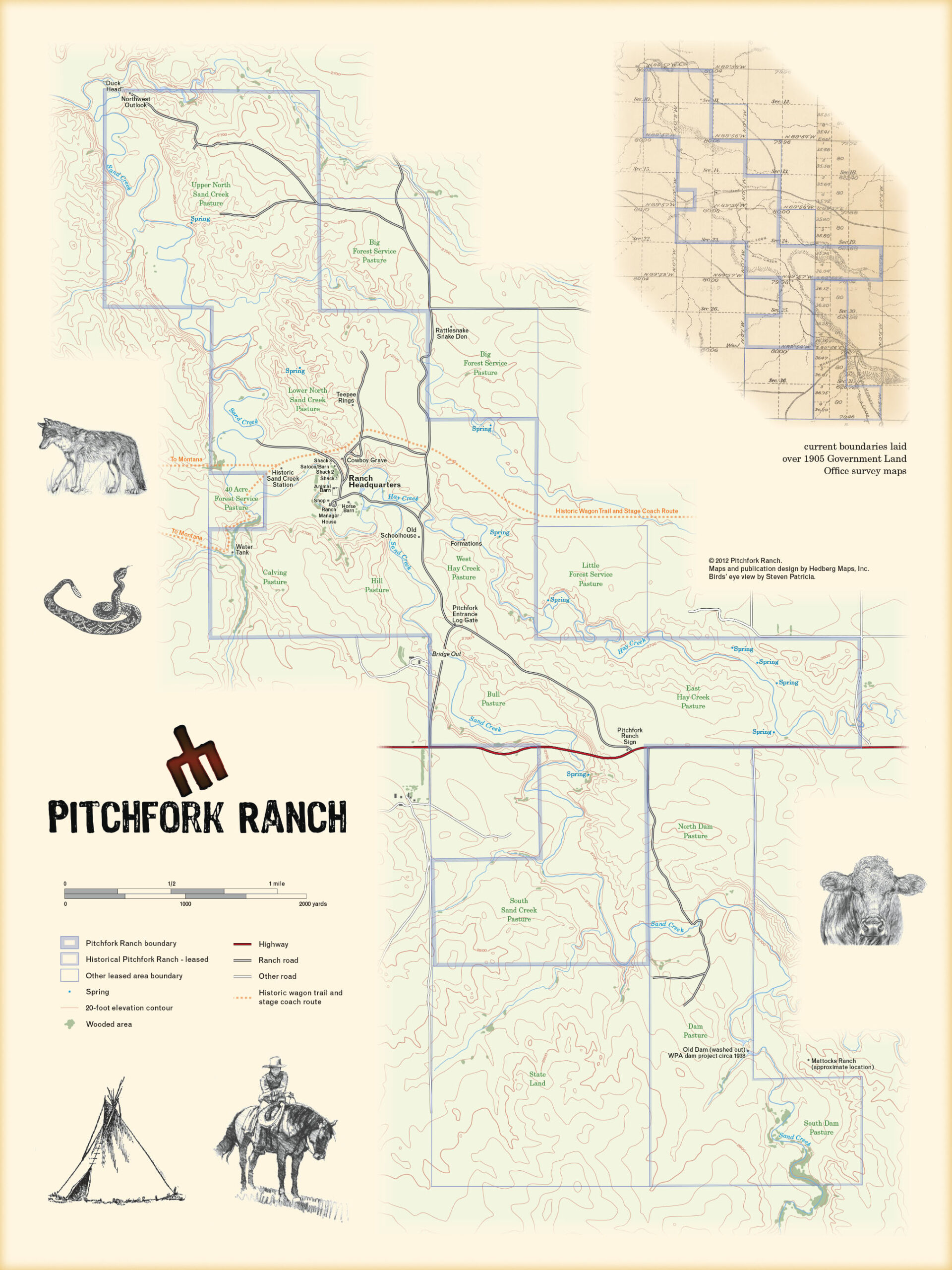
For the main map, we settled on a style based on mid-century USGS topographic maps. We discovered that the data available from USGS was much degraded from the original topo maps of the 1950s to 1980s—they had essentially generated the new contour lines with a generalization of a generalization, instead of using new data or simply retracing the old lines. So Hedberg Maps traced the old topo map lines by eye. We used official road and water lines, but the corrected them for greater detail from aerial photos, and added detail of tree cover, which is sparse but important. Finally, we reconciled conflicting property line information between USGS and county sources, going back to the original land surveys of the area from 1904.
We also commissioned a bird’s eye view of the central ranch complex from Frank Patricia, who did a knock-out job. Finally, I generated a map of the region from sources supplied by the client showing Teddy Roosevelt’s imprint. The whole publication was printed with yellowing to imitate aging, and printed on lovely, toothy old-style paper.