
Hamline Church, a United Methodist congregation near Hamline University, traces a long history through multiple source congregations and church buildings back to the first Methodist church in the state, in what is now downtown St. Paul. The church asked me to come up with a map that would encourage people to bike and walk in the neighborhoods it came out of. I kept wanting to add more history (I learned a bunch about the history of Methodism in America, and about the politics of church building in Minnesota), but the goal from the client was clear: make it simple and straightforward.
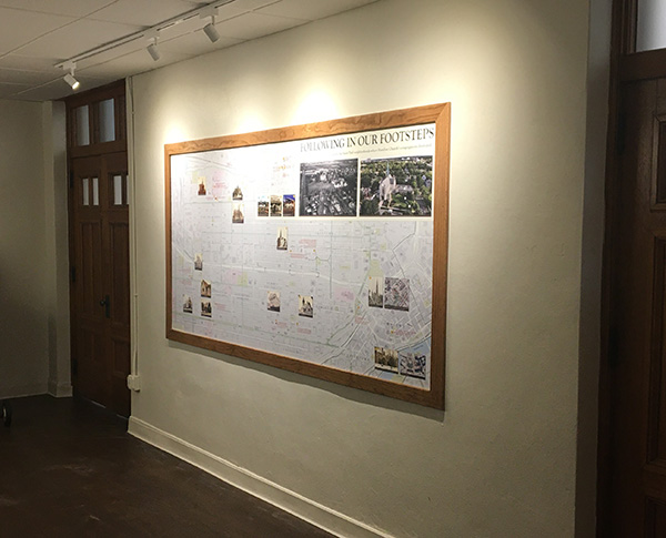 The map base was a combination of government and OpenStreetMap data, and the historic photos from a variety of sources. We took new drone-based photos of the current church for the view in the upper right, and hunted down locations for the Hamline Church Dining Hall (the oldest existing concession at the Minnesota State Fair)… lots of original research. The result now hangs outside the fellowship hall in the church