For a book about the 1836 Texas Revolution, the client wanted an historic but not overstylized look. My direct client, Nick Springer, suggested the fonts and some of the graphic techniques to add subtle shading to the piece.
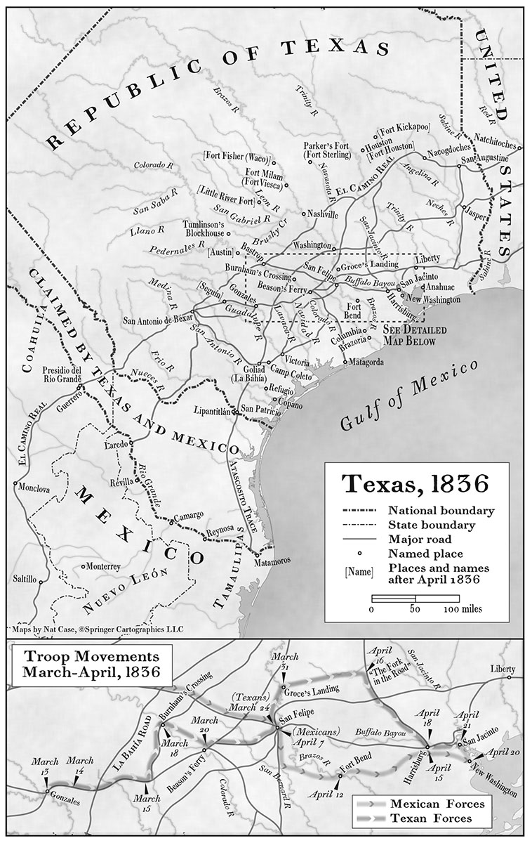
I used modern geodata and confirmed named points one by one using modern sources. Historic map sources are tricky—the creators often were simply incorrect in where things were, especially in a part of the world where the land had not been comprehensively surveyed.
Probably the biggest graphic challenge (besides fitting all those place names into a small space) was how to show the overlapping routes of Santa Ana and the Texans in the inset. I think the solution of two softened sets of arrowheads in line tells that story effectively.
You can see the map in context on Amazon using “Look Inside.”